


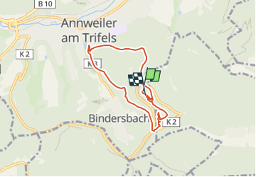

6,5 km | 9,9 km-effort

Tous les sentiers balisés d’Europe GUIDE+


Gratisgps-wandelapplicatie
 SityTrail
IGN / Geografische instituten
SityTrail World
De wereld gaat voor u open
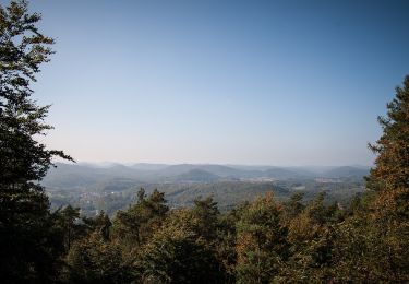
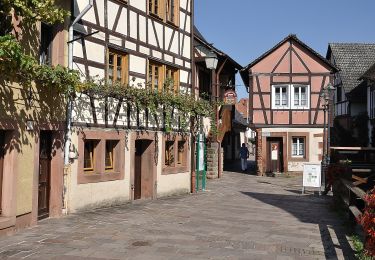
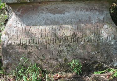
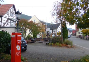
Tocht Te voet van 5,9 km beschikbaar op Rijnland-Palts, Landkreis Südliche Weinstraße, Annweiler am Trifels. Deze tocht wordt voorgesteld door SityTrail - itinéraires balisés pédestres.
Trail created by Verein Südliche Weinstraße Annweiler am Trifels.


Te voet
Te voet
Te voet
Te voet
Te voet
Te voet
Te voet
Te voet
Te voet